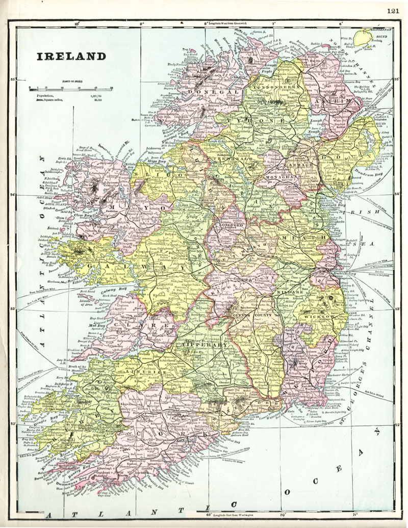
1891 Map of Ireland
This antique, lithographed map of Ireland was drawn by George Franklin Cram and published by the American Book Concern in Iliff's Imperial Atlas of the World, Chicago, 1891.
The image area measures 34 x 17 cm [13-1/2" x 10-1/2"] and each county is distinguished by coloration.
The map shows railroads, canals, cities, towns, steamship routes, and natural features. The coverage area includes the entire island, with counties delineated in color: Antrim, Armagh, Carlow, Cavan, Clare, Cork, Donegal, Down, Dublin, Fermanagh, Galway, Kerry, Kildare, Kilkenny, Kings, Londonderry, Leitrim, Limerick, Longford, Louth, Mayo, Meath, Monaghan, Queens, Roscommon, Sligo, Tipperary, Tyrone, Waterford, Westmeath, Wexford, and Wicklow.
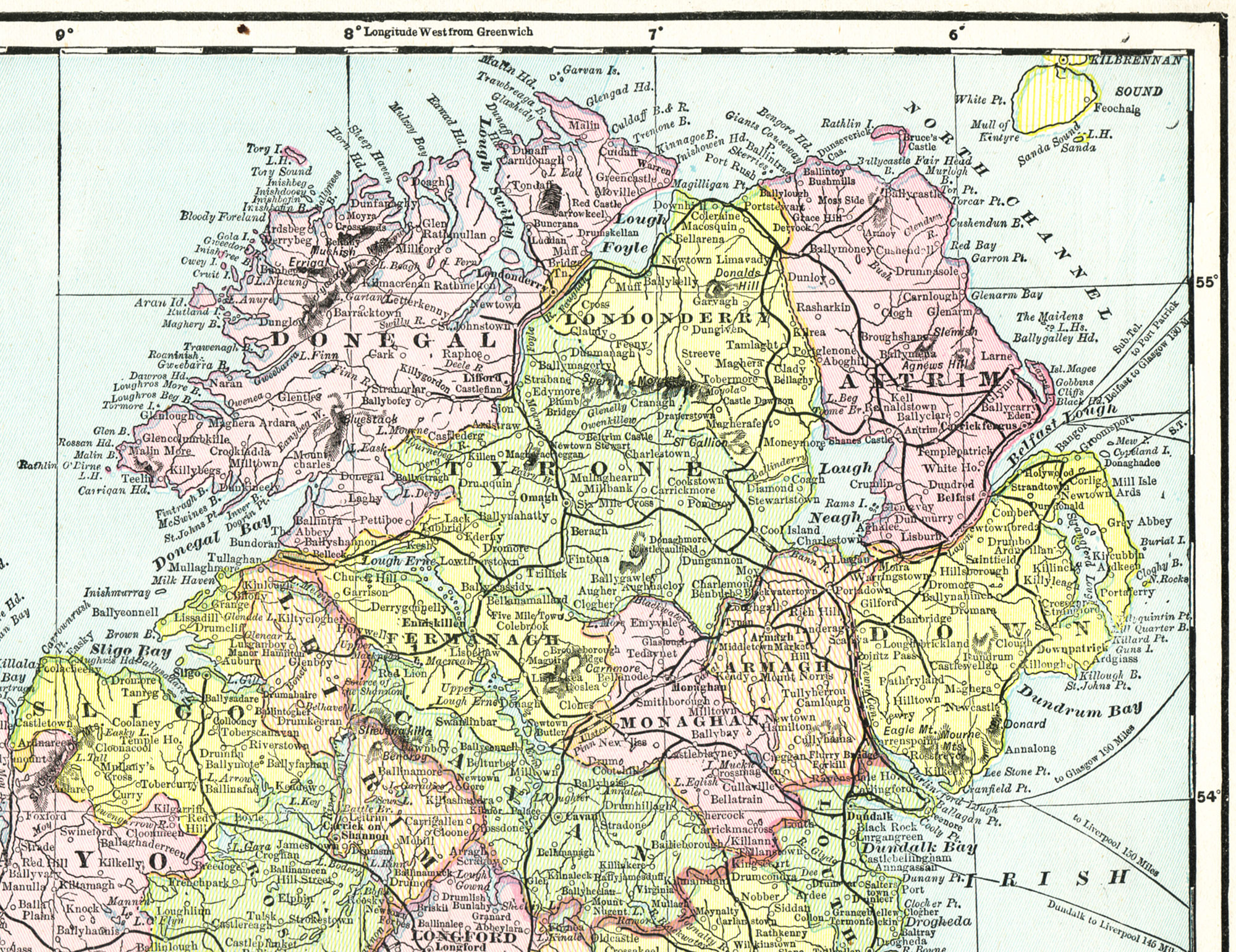
Detail showing the counties of Ulster:
Six of Ulster's nine counties, Antrim (Aontroim), Armagh (Ard Mhacha), Down (An Dún), Fermanagh (Fear Manach), Londonderry (Doire) (formerly known as County Coleraine before being renamed and expanded during the Plantation of Ulster) and Tyrone (Tír Eoghain), form Northern Ireland, and remained part of the United Kingdom after the partition of Ireland in 1921. Three Ulster counties, Cavan (An Cabhán), Donegal (Dún na nGall) and Monaghan (Muineachán) form part of the Republic of Ireland.
The first great mass migration from Ireland to North America took place from Ulster in the eighteenth century and consisted of the descendants of the Scottish settlers seeking refuge from economic and political hardship and religious intolerance.
From the collection of Kate Maynard
Complete map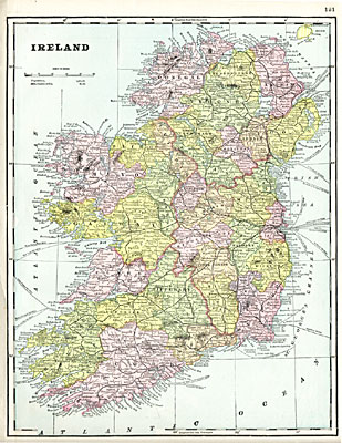
Download larger image: Ireland (1891) |
Map Detail (Ulster)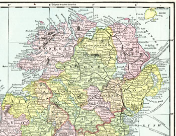
Download larger image: Ulster Detail |