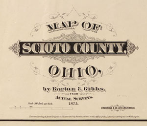
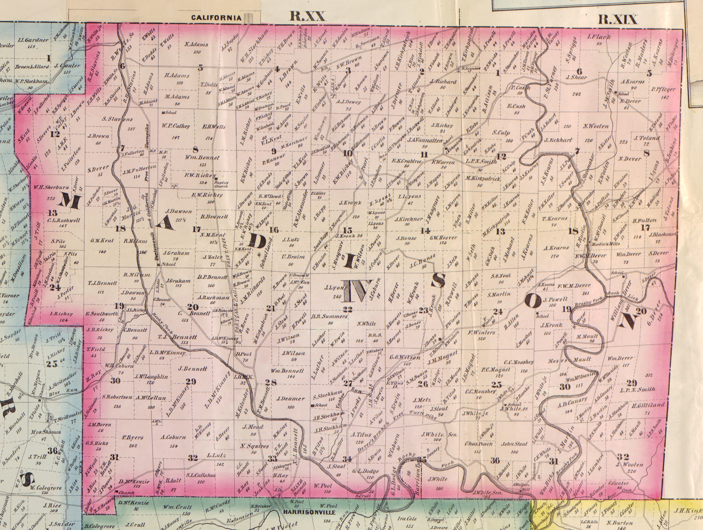
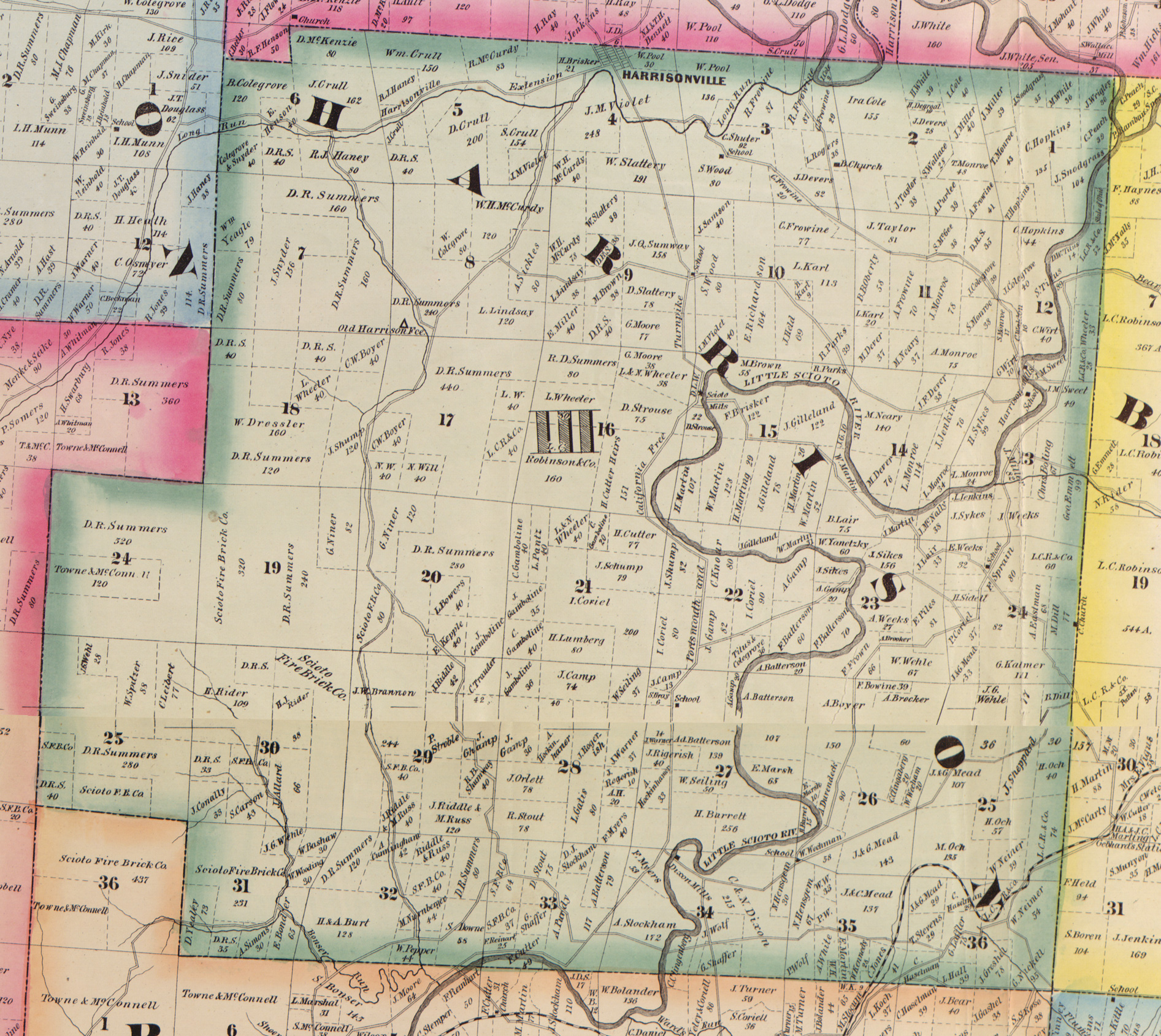
1875 Barton & Gibbs Scioto County, Ohio township map
Township Map Downloads
The 1875 Barton & Gibbs Scioto County, Ohio township map includes two townships where known Gilliland lands are located. These are freely available for download:
- Madison Township (Hugh Gilliland, Range 29 East)
- Harrison Township (Jacob Gilliland, Range 15 & 22).
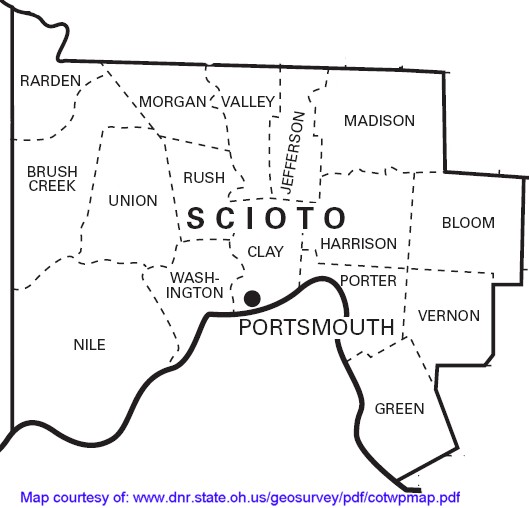
- Contemporary map of Scioto Townships (for comparison)
Ordering the Complete Map
The complete 1875 Barton & Gibbs Scioto County, Ohio township map is now available in several formats on a set of three CDs. One CD provides each township from the map as a JPG image for use on an average home computer. A two-CD set of high-resolution TIFF images of the townships is also available for those who would like to print larger, map-quailty images of any township or village. (You may need to find a commercial print shop to handle files of this size and type.)
These CDs are available to Gilliland folks at a price that will help us recoup our costs but still be very affordable to everyone:
A CD-ROM of the JP images for $10.00 (postage included)
A three CD-ROM set, including the jpg CD and two tiff CDs, for $25.00 (postage included)
To order these CDs contact Kate, your forum administrator, at hpuppet@verizon.net.
Map Source Background
Many township maps for Ohio Counties are available on the web but the Barton & Gibbs map has been one that has proven to be maddeningly elusive. I did find one black & white, bound copy of some township maps in the Portsmouth Public Library but because of the inferior photocopying techniques available at the time the volume was published, it was very difficult to read.
I took down the information for the map and contacted the Library of Congress where the original map is held. Despite its fragile condition they were able to send me images of the map in 2 CD-ROMs. It was necessary to send it this way because the files were huge and the original map, published as four separate sheets, was some 50" x 56".
Carmen, our websmaster for Gilliland Trails, has remastered these scans of the township map provided by the Library of Congress because the two CD-ROMs were not practical for use on the average home computer or for isolating individual townships for study. In addition, because the map had been produced as four individual sheets there were large breaks running N-S-E-W and this all had to be digitally joined in order to construct an unbroken image of some townships. No information was missing but the broken images needed to be realigned.
Carmen managed to do all of this time-consuming work plus produce images of the individual townships and villages highlighted on the map. I also contributed some notes on same. Gilliland lands on the 1875 map are indicated in Madison and Harrison Townships.
-- Kate Maynard